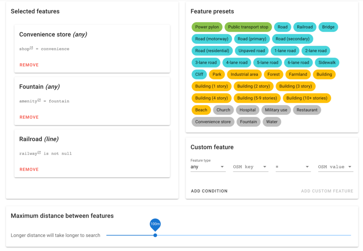
A user friendly way to search OpenStreetMap data for features in proximity to each other.
osm-search
This is a tool for allowing user friendly proximity queries from OpenStreetMap data.
Bellingcat has a hosted version of the tool at https://osm-search.bellingcat.com/. For more information, see the accompanying article.

Setup and hosting your own
Setting up the database
A Postgres database must be set up with OSM data. This can be done with osm2pgsql.
osm2pgsql -d osm --hstore-all planet-latest.osm.pbf
Next, some additional setup should be done on the database for performance and to create a combined view of all the data:
psql -d osm clean.sql
psql -d osm cluster.sql
psql -d osm index.sql
psql -d osm analyze.sql
psql -d osm views.sql
Note that if you run this using the entire planet OSM file, it will require about 700GB of space.
Running the API
The API requires environment variables for connection with Postgres.
PG_DBPG_HOSTPG_PORTPG_USERPG_PASSWORD
It also requires a Google Firebase service account credentials file, which must be named service_account.json.
Running the frontend
The frontend requires environment variables for Mapbox geocoding queries and for Firebase. These variables will be publicly viewable and built into the app.
VUE_APP_MAPBOX_TOKENVUE_APP_FIREBASE_API_KEYVUE_APP_FIREBASE_AUTH_DOMAINVUE_APP_FIREBASE_PROJECT_IDVUE_APP_FIREBASE_STORAGE_BUCKETVUE_APP_FIREBASE_MESSAGING_SENDER_IDVUE_APP_FIREBASE_APP_ID